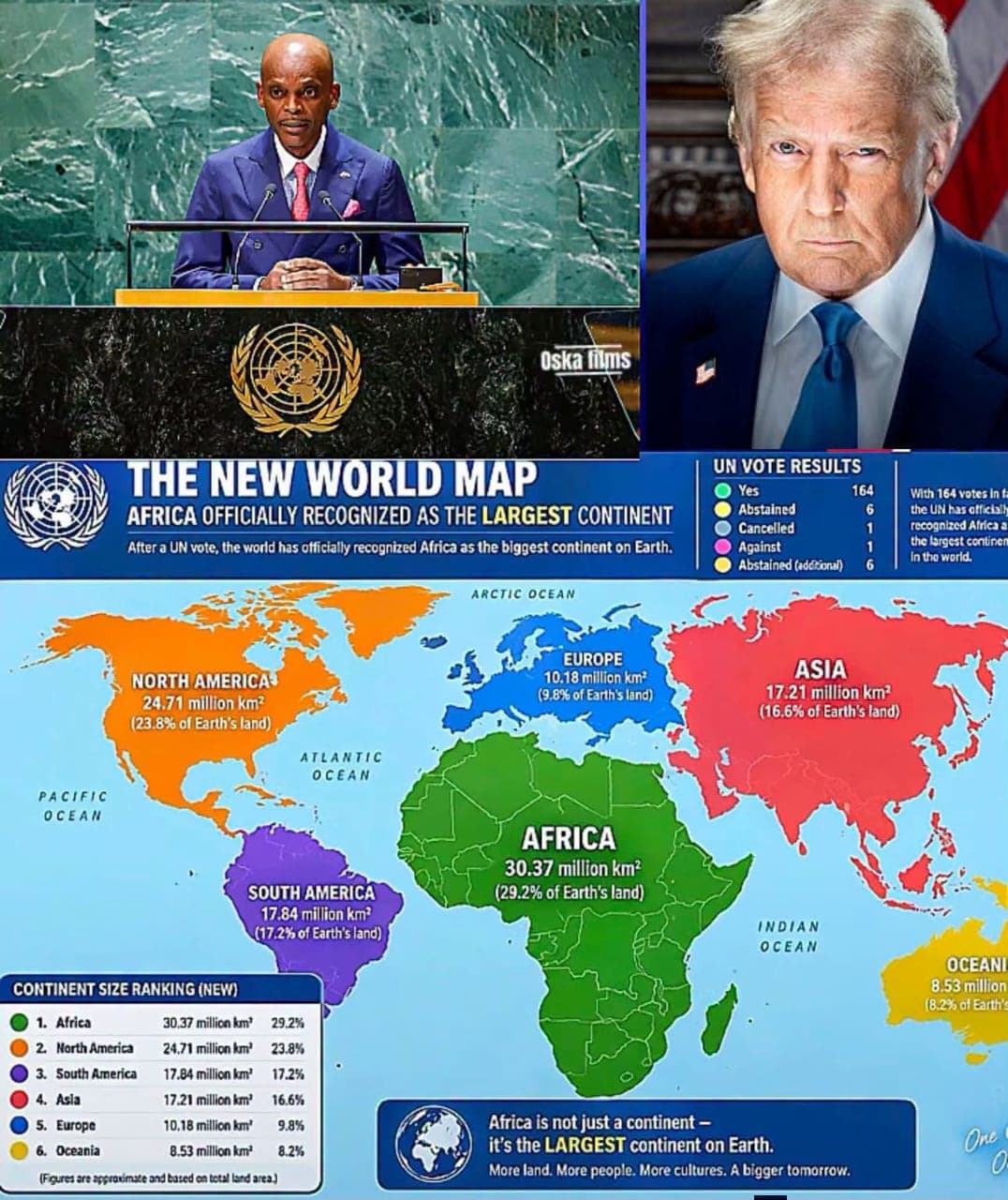
NEW YORK —The United Nations General Assembly has overwhelmingly endorsed an African-led initiative aimed at changing how the world’s continents are represented on maps, with a new resolution promoting map projections that more accurately reflect the actual size of landmasses.
The resolution, spearheaded by Togo and supported by the African Union and the African Group at the United Nations, was adopted on Friday, September 4, 2026, by 164 votes in favour, one against and six abstentions. The United States was the only country to vote against the resolution.
The initiative, widely associated with the “Correct the Map” campaign, promotes the use of the Equal Earth projection and other equal-area projections as alternatives to the widely used Mercator projection.
The Mercator projection, developed in the 16th century primarily for navigation, significantly enlarges areas farther from the Equator while making equatorial regions appear comparatively smaller. As a result, Greenland can appear similar in size to Africa on some conventional world maps, even though Africa is about 14 times larger than Greenland in actual land area.
Africa covers approximately 30.3 million square kilometres, making it the world’s second-largest continent. Its actual landmass is large enough to contain the United States, China, India and several European countries combined.
Togo’s initiative argues that the way maps portray the world can influence how people understand the relative importance and scale of different regions. The campaign therefore seeks wider use of projections that preserve the proportional area of continents more accurately.
However, the UN decision does not abolish the Mercator projection, nor does it make the Equal Earth map legally mandatory. Rather, the resolution encourages governments, educational institutions, international organisations, publishers and technology companies to consider more accurate equal-area projections in maps and educational materials.
The six countries that abstained were Estonia, Georgia, Lithuania, Moldova, Serbia and Ukraine, while the United States stood alone in voting against the resolution.
The Togolese government described the vote as a significant achievement for Africa, saying the initiative would contribute to a fairer visual representation of the continent in international institutions, schools and digital platforms.
The resolution does not alter national borders, territorial claims or the political status of any country. Its focus is strictly on how the Earth’
s surface and the relative sizes of continents are represented on two-dimensional maps.
The development marks a significant moment in the long-running debate over cartographic representation and the way maps shape perceptions of the world.
ABF NEWS
Share this Article